OldMapDownloads
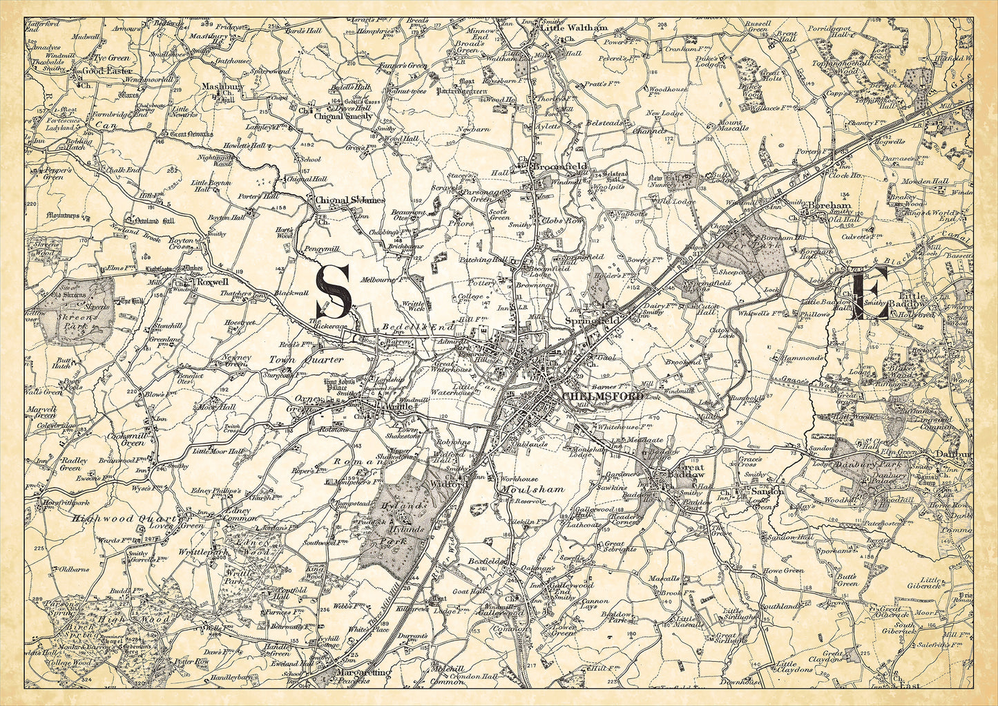
Chelmsford in 1898, showing the town and the surrounding area
Chelmsford in 1898, showing the town and the surrounding area
Couldn't load pickup availability
PLEASE NOTE: This is a digital download, not a printed map.
This digital download is a high-quality 300 dpi JPG image created from 1 inch to the mile Ordnance Survey maps. They are presented on an antiqued background.
It's sized to A3 dimensions (42 x 29.7 cm) making it perfect for viewing on your PC or laptop using image software such as Photoshop or Gimp, or utilities such as Windows Photo or Windows Paint.
Can be sized or cropped and printed at home if required, or use an online or local printing service for large formats. These A3 maps may be printed onto A4 paper by using the "print to media size" option (wording will vary by printer manufacturer). Convert to PDF format for more control over printing.
The map shows:
1. Topographical Features such as hills, valleys, forests etc.
2. Human-Made Structures such as buildings, bridges, roads, railways, churches, mills, factories etc.
3. Water Features such as rivers, lakes, streams, and canals.
4. Administrative Boundaries, counties, parishes, etc.
5. Land Use and Cover, such as farmland, areas of woodland, parkland, marsh, and other land cover types.
6. Archaeological and Historical Sites including known Roman roads, ancient monuments, and ruins.
7. Place Names.
FOR PRINTED MAPS, PLEASE VISIT https://www.ebay.co.uk/str/wealdenrelics

