Elite Wall Decor
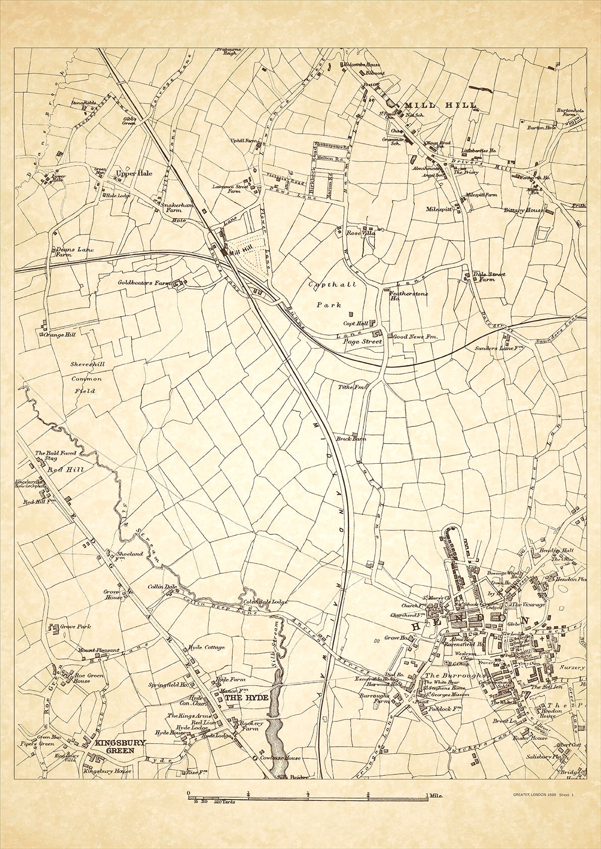
Greater London in 1888 Series - showing Mill Hill, Hendon The Hyde, Kingsbury Green, Page Street, Upper Hill - sheet 1
Greater London in 1888 Series - showing Mill Hill, Hendon The Hyde, Kingsbury Green, Page Street, Upper Hill - sheet 1
Couldn't load pickup availability
This digital download is a high-quality 300dpi JPG image of a London street atlas map dated 1888. It is enlarged, and sized to print if required at A2 dimensions (59.4 cm x 42 cm), or simply view it in close up on your computer screen using for instance Windows Photo or similar.
These maps are sharp and clear. All railway lines and stations are shown and named.
Mill Hill and Hendon were both rural areas located in the northwestern part of London in 1888. The majority of the population consisted of agricultural workers and small farmers. However, there were also wealthy landowners who lived in large estates and mansions in the area.
Historical places of interest in Mill Hill included the 18th-century St. Mary's Church, which had connections to the famous diarist Samuel Pepys. There was also a large workhouse, which provided accommodation and employment to the poor and destitute.
In modern Hendon, the main attraction is the RAF Museum, which was formerly known as the Royal Air Force Museum. This museum showcases the history of the RAF and displays a wide range of aircraft, including early planes from the First World War and more modern jets. There is also a large park, Hendon Park, which is a popular destination for recreation and leisure activities.
Whether you're a history buff, a cartography enthusiast, or simply looking for a unique piece of decor for your home or office, this map is sure to delight. It's a piece of history that you can own and enjoy for years to come.

