Elite Wall Decor
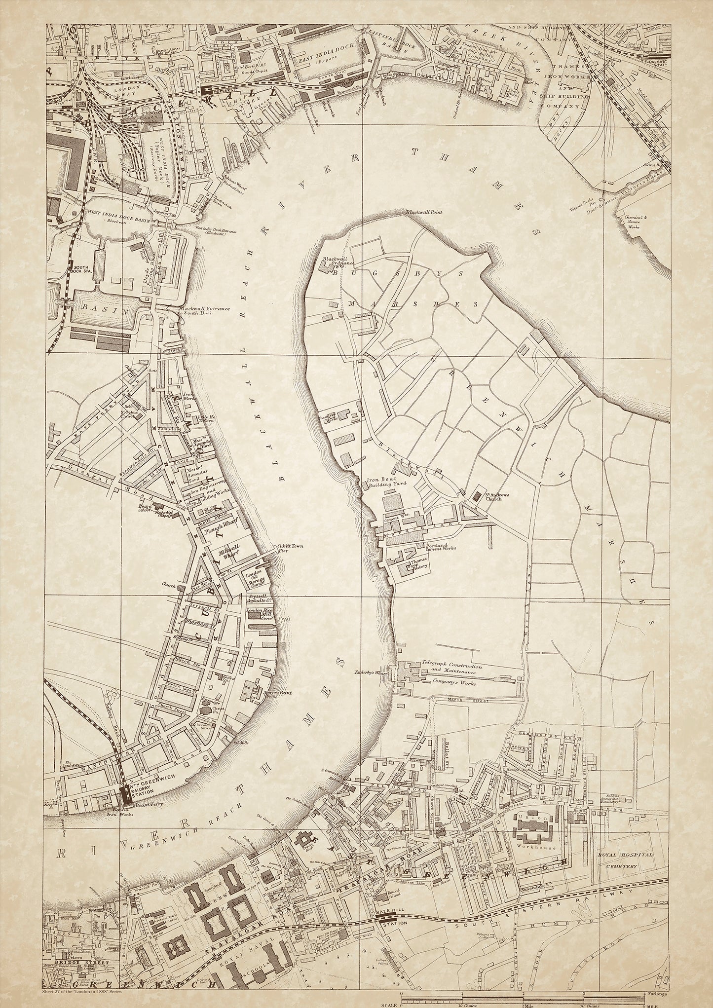
London in 1888 Series - showing Blackwall, Greenwich - sheet 27
London in 1888 Series - showing Blackwall, Greenwich - sheet 27
Couldn't load pickup availability
Also shows: East India Dock, West India Dock (Poplar), West India Dock Basin (Blackwall), Bugsby Marshes, North Greenwich Railway Station, Portland Cement Works, Telegraph Construction & Maintenance Company Works, Union Workhouse, Greenwich Hospital, Royal Naval Schools.
This digital download is a high-quality 300dpi JPG image of a London street atlas map dated 1888. It is enlarged, and sized to print if required at A1 dimensions (84.1 cm x 59.4 cm), or simply view it in close up on your computer screen using for instance Windows Photo or similar. These maps are sharp and clear. All railway lines and stations are shown and named.
Blackwall, Greenwich, and the surrounding areas were important maritime hubs in London in 1888. Blackwall, situated on the north bank of the Thames, was home to shipbuilding companies, such as the famous Thames Iron Works and Ship Building Company, which produced some of the largest and most advanced ships of the time. The nearby East India Dock and West India Dock (Poplar) were also major centers of maritime trade and commerce, handling goods coming in and out of the British Empire.
Greenwich, located just south of the Thames, was home to the Greenwich Observatory, which played an important role in navigation and timekeeping. The Royal Naval College, located on the site of the old Palace of Placentia, was also located in Greenwich, and was an important institution for the training of British naval officers. The area was also home to the Greenwich Hospital, which provided medical care and housing for retired seamen.
The Bugsby Marshes, located in the area around the mouth of the River Lea, were an important source of fuel for London, providing peat to heat homes and businesses in the city. The marshes were also used for grazing cattle and sheep, and were a popular spot for birdwatching.
The class of people living in Blackwall, Greenwich, and the surrounding areas varied widely, from the wealthy shipbuilders and naval officers to the dockworkers and laborers who worked in the maritime industry. The area was also home to a number of institutions for the poor, including the Union Workhouse and the Royal Naval School, which provided education and training for the children of seamen.
Whether you're a history buff, a cartography enthusiast, or simply looking for a unique piece of decor for your home or office, this map is sure to delight. It's a piece of history that you can own and enjoy for years to come.

