Elite Wall Decor
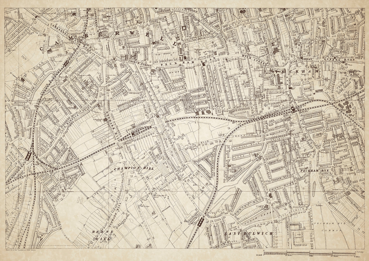
London in 1888 Series - showing Camberwell, Herne Hill, Peckham - sheet 32
London in 1888 Series - showing Camberwell, Herne Hill, Peckham - sheet 32
Couldn't load pickup availability
Also shows: East Dulwich (north), Champion Hill, Denmark Hill, Peckham Rye, Goose Green, Camberwell Workhouse.
This digital download is a high-quality 300dpi JPG image of a London street atlas map dated 1888. It is enlarged, and sized to print if required at A1 dimensions (84.1 cm x 59.4 cm), or simply view it in close up on your computer screen using for instance Windows Photo or similar. These maps are sharp and clear. All railway lines and stations are shown and named.
In the late 19th century, Camberwell, Herne Hill, Peckham, and East Dulwich were mostly middle-class residential areas with a few pockets of working-class neighborhoods. The area had experienced significant growth due to the expansion of London, with many new houses and shops built to accommodate the growing population. The residents of these neighborhoods were predominantly white-collar workers, shopkeepers, and skilled laborers.
Camberwell was home to several notable landmarks, including the Camberwell Workhouse, which provided housing and medical care to the poor and destitute. Herne Hill was known for its large houses and green spaces, such as Brockwell Park, which featured a popular lido. Peckham and East Dulwich were bustling commercial centers, with a mix of shops, businesses, and residential streets.
Denmark Hill was home to several hospitals, including the Camberwell Infirmary and the Royal Hospital for Children, while Champion Hill was the location of the Champion Hill estate, which included a large mansion and extensive gardens. Peckham Rye was a popular public park, with tennis courts, a pond, and a playground.
Whether you're a history buff, a cartography enthusiast, or simply looking for a unique piece of decor for your home or office, this map is sure to delight. It's a piece of history that you can own and enjoy for years to come.

