Elite Wall Decor
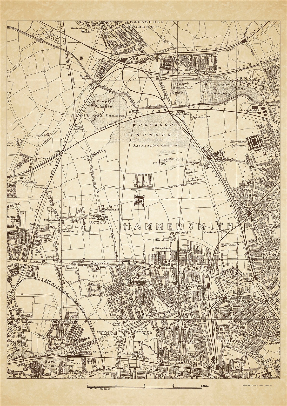
Greater London in 1888 Series - showing Shepherds Bush, Wormwood Scrubs, Harlesden Green (south), Willesden Junction, Kensal Green (west), Acton Vale, East Acton, Starch Green, West Kensington, Brook Green - sheet 15
Greater London in 1888 Series - showing Shepherds Bush, Wormwood Scrubs, Harlesden Green (south), Willesden Junction, Kensal Green (west), Acton Vale, East Acton, Starch Green, West Kensington, Brook Green - sheet 15
Couldn't load pickup availability
This digital download is a high-quality 300dpi JPG image of a London street atlas map dated 1888. It is enlarged, and sized to print if required at A2 dimensions (59.4 cm x 42 cm), or simply view it in close up on your computer screen using for instance Windows Photo or similar.
These maps are sharp and clear. All railway lines and stations are shown and named.
In the late 19th century, Shepherds Bush and Wormwood Scrubs were predominantly working-class neighborhoods located in the western part of London. Shepherds Bush was known for its thriving market and a popular gathering place for locals. One of the historical places of interest in Shepherds Bush is the Shepherd's Bush Empire, which opened as a music hall in 1903 and is still used for live music performances today.
Wormwood Scrubs, on the other hand, was known for its notorious prison, which was built in 1874 and housed some of the most dangerous criminals of the time. The prison was also the site of several high-profile executions, including that of the infamous murderer Dr. Crippen. Despite the prison's notoriety, the area around Wormwood Scrubs was also home to many working-class families who worked in nearby industries such as railways and factories.
Whether you're a history buff, a cartography enthusiast, or simply looking for a unique piece of decor for your home or office, this map is sure to delight. It's a piece of history that you can own and enjoy for years to come.

