Elite Wall Decor
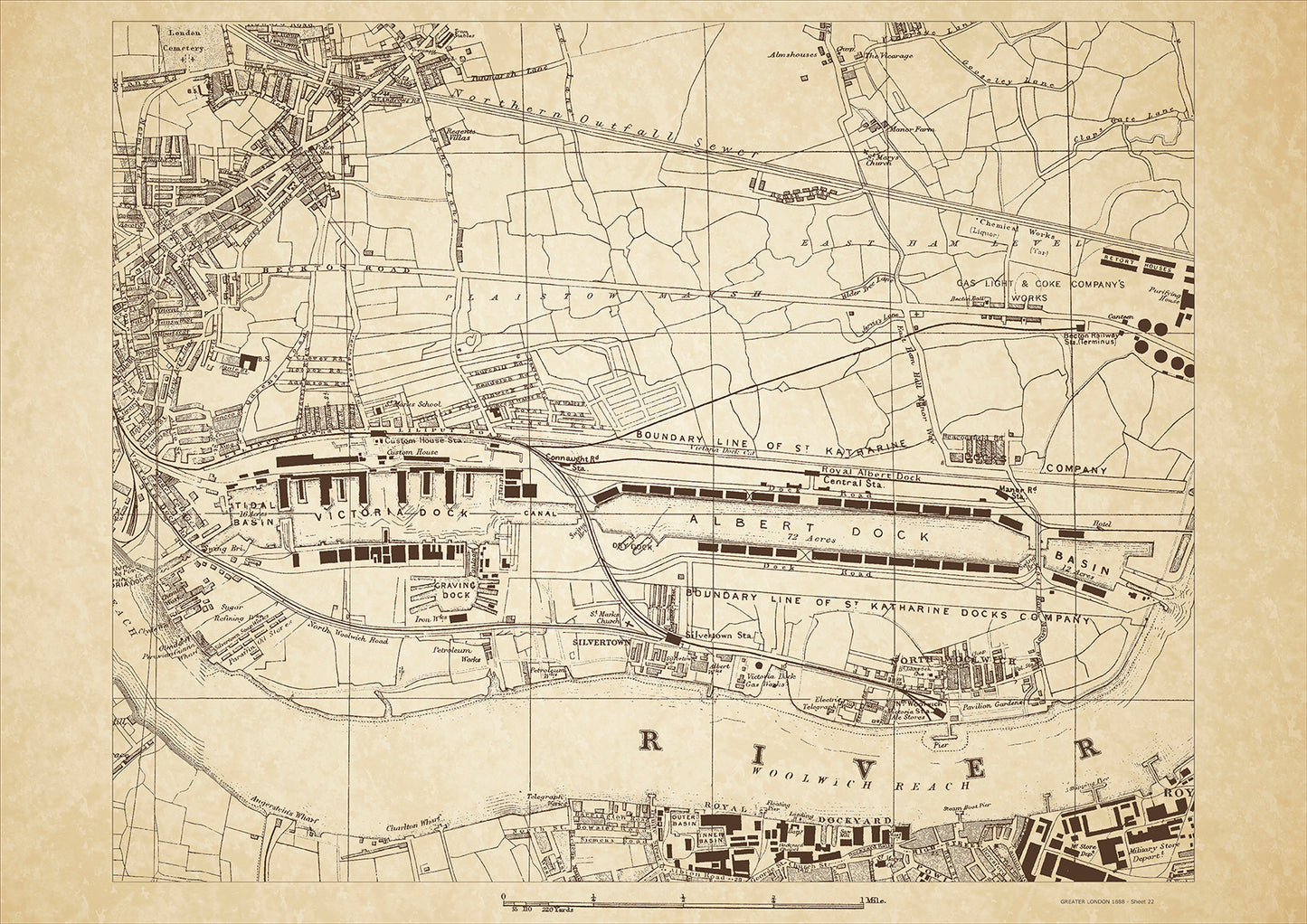
Greater London in 1888 Series - showing Silvertown, Victoria & Albert Docks, North Woolwich, Woolwich Royal Dockyard, Custom House, St Katharine Docks - sheet 22
Greater London in 1888 Series - showing Silvertown, Victoria & Albert Docks, North Woolwich, Woolwich Royal Dockyard, Custom House, St Katharine Docks - sheet 22
Couldn't load pickup availability
This digital download is a high-quality 300dpi JPG image of a London street atlas map dated 1888. It is enlarged, and sized to print if required at A2 dimensions (59.4 cm x 42 cm), or simply view it in close up on your computer screen using for instance Windows Photo or similar.
These maps are sharp and clear. All railway lines and stations are shown and named.
Silvertown was a thriving industrial area located in the east of London in 1888. It was known for its large-scale factories and warehouses, including the Victoria and Albert Docks, which were at the heart of the area's shipping and trading industries. The dockyards were a bustling hub of activity, with ships from all over the world docking and unloading goods.
The class of people who lived in Silvertown during this time were mostly working-class laborers and their families who were employed in the area's factories and docks. Many of these workers lived in cramped and overcrowded tenement housing, which was often located in close proximity to the factories and docks.
Aside from the industrial sites, there were few places of interest in Silvertown during this time. However, the area did have several pubs and small shops that catered to the local working-class population. One notable landmark was the Silvertown Explosion Memorial, which was erected in memory of the victims of a devastating explosion that occurred in 1917 at a munitions factory in the area.
Whether you're a history buff, a cartography enthusiast, or simply looking for a unique piece of decor for your home or office, this map is sure to delight. It's a piece of history that you can own and enjoy for years to come.

