Elite Wall Decor
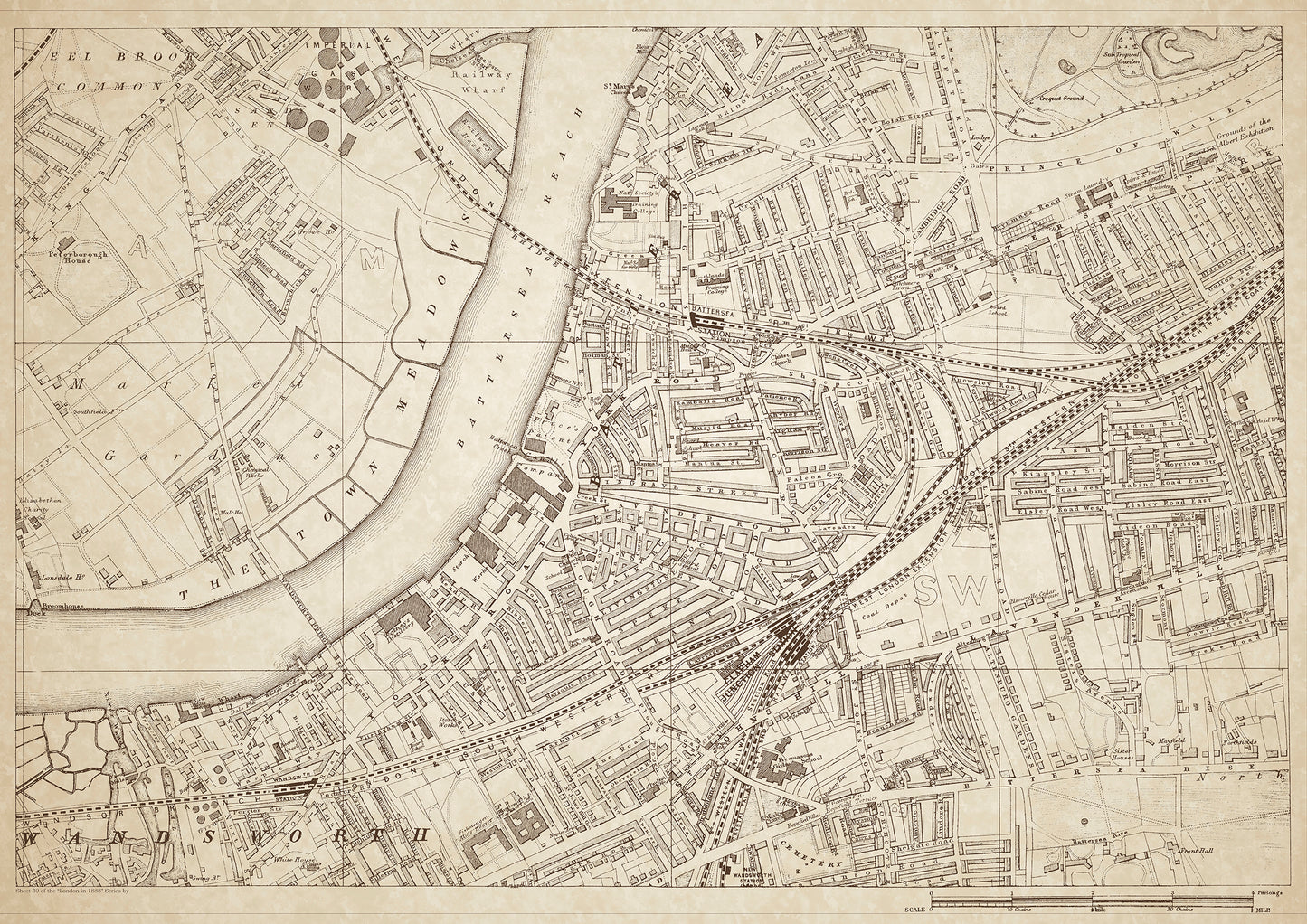
London in 1888 Series - showing Wandsworth, Eel Brook Common, Battersea, Lavender Hill - sheet 30
London in 1888 Series - showing Wandsworth, Eel Brook Common, Battersea, Lavender Hill - sheet 30
Couldn't load pickup availability
Also shows: Price's Patent Candle Company, Wandsworth & Clapham Union Workhouse, Battersea Reach, St. Johns Hill, Clapham Junction, Battersea Rise, Freemasons Girls School.
This digital download is a high-quality 300dpi JPG image of a London street atlas map dated 1888. It is enlarged, and sized to print if required at A1 dimensions (84.1 cm x 59.4 cm), or simply view it in close up on your computer screen using for instance Windows Photo or similar. These maps are sharp and clear. All railway lines and stations are shown and named.
Wandsworth, Battersea, and Clapham were all areas that saw significant growth during the late 19th century. Wandsworth was home to a variety of middle-class professionals, while Battersea and Clapham were home to a mix of working-class and middle-class residents.
Historical places of interest in the area included the Price's Patent Candle Company, which was one of the largest factories in London at the time, and the Wandsworth & Clapham Union Workhouse, which housed the area's poorest residents.
Eel Brook Common was a popular outdoor space for the local community, while Battersea Reach provided access to the River Thames. Clapham Junction, one of the busiest railway stations in the country, was a major transport hub connecting the area to the rest of London.
Lavender Hill was a bustling shopping district, and St. Johns Hill was lined with shops and restaurants. Battersea Rise was home to a number of middle-class residents and was known for its beautiful Victorian homes. The Freemasons Girls School provided education for local girls.
Whether you're a history buff, a cartography enthusiast, or simply looking for a unique piece of decor for your home or office, this map is sure to delight. It's a piece of history that you can own and enjoy for years to come.

