Elite Wall Decor
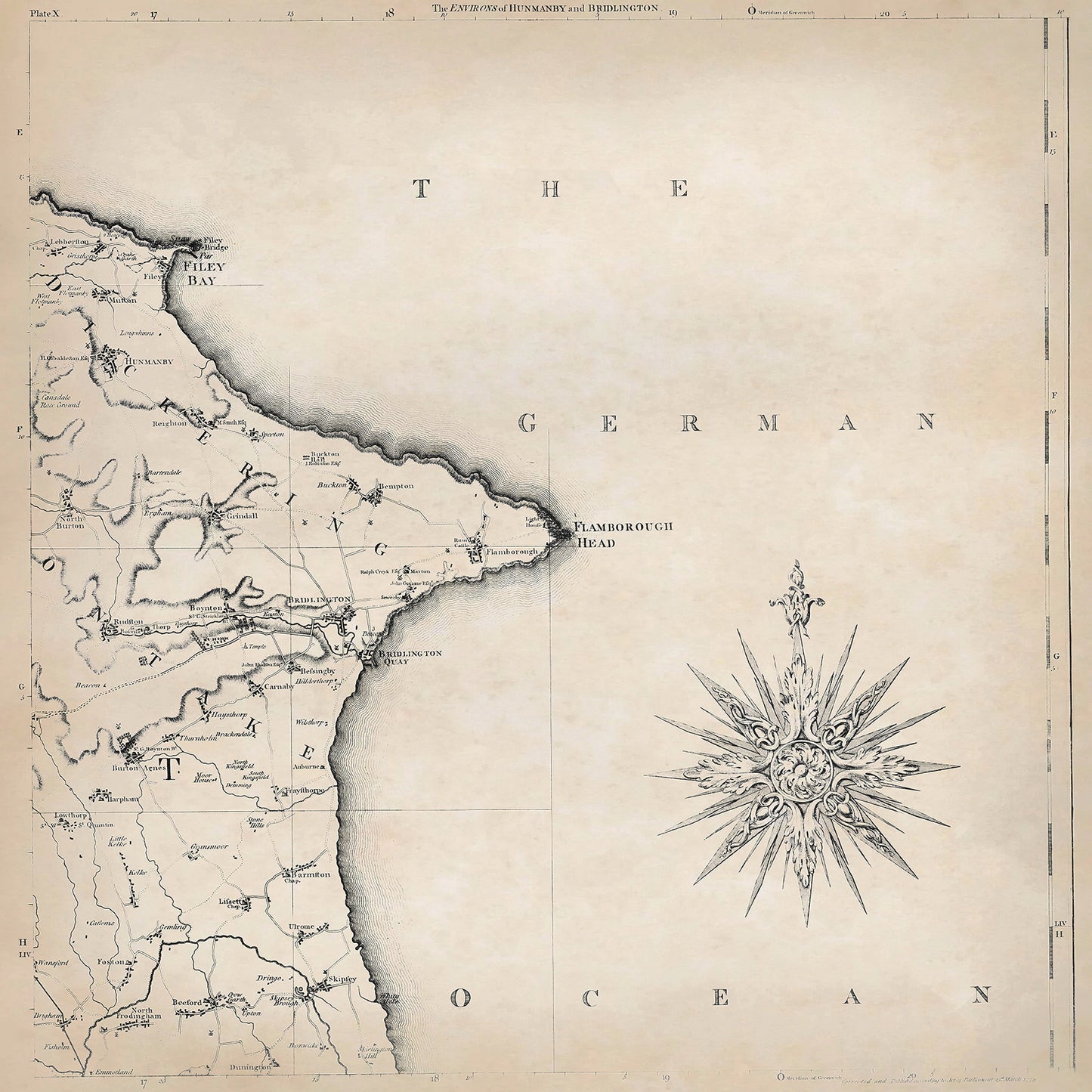
Yorkshire in 1771 sheet 2-5 - shows the Hunmanby and Bridlington area
Yorkshire in 1771 sheet 2-5 - shows the Hunmanby and Bridlington area
Couldn't load pickup availability
Downloading this large file to phones or tablets is not recommended
This digital download is a high-quality 300dpi JPG image of one sheet from Thomas Jefferys "The County of York Survey'd" published in 1771. The image is crisp, clear and easy to read. It measures 60 x 60 cm, or 7087 x 7087 pixels but can be cropped or resized with the appropriate software. Download now to print whole or in part at home, or simply view it in close up on your device using image software such as Adobe Photoshop, Gimp, Windows Photo, or similar.
Hunmanby:
Hunmanby is a small town located in the East Riding of Yorkshire, known for its agricultural heritage and historic charm.
Agriculture was the primary industry in Hunmanby during the late 18th century. Some residents may have been involved in cottage industries, such as spinning wool and producing textiles.
Hunmanby had a historic market square where traders gathered to sell their goods. The town's All Saints' Church, with its medieval architecture, was a notable landmark.
Bridlington:
Bridlington is a coastal town located on the North Sea coast of East Yorkshire. It has been a popular seaside resort since the late 18th century.
Fishing played a significant role in Bridlington's economy during the late 18th century. The town's location on the coast provided abundant opportunities for fishing fleets to catch herring and other fish. Tourism also became a growing industry, as visitors flocked to Bridlington for its seaside attractions.
Bridlington's most prominent attraction was its sandy beaches and the appeal of sea bathing. The town's Old Town area featured narrow streets, traditional fishermen's cottages, and the Priory Church of St. Mary, a medieval church with impressive architecture.

